.jpg)
Precision Geospatial
Intelligence
Advanced terrain modeling, multi-temporal satellite analysis, and
ecosystem monitoring for data-driven adaptive management.
Terrain Modeling &
Remote Sensing
-
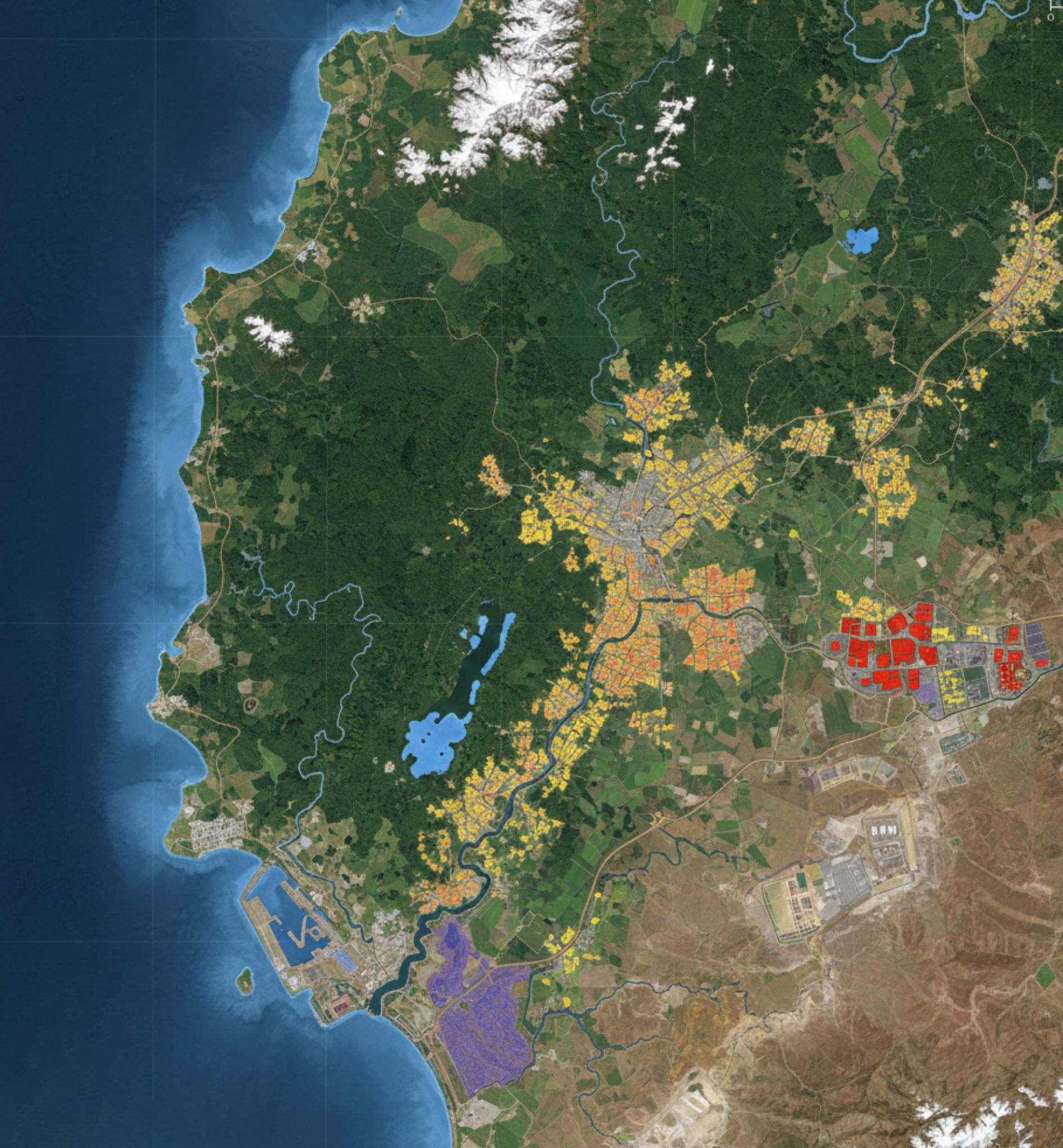
Terrain & Drainage Model Generation of high-resolution Digital Elevation Models (DEM) to analyze slope, aspect, and hydrological flow paths.
-
Multi-temporal Analysis Utilizing time-series satellite data to track landscape evolution and historical trends.
-
Satellite & Hyperspectral Advanced spectral analysis for mineral mapping, soil classification, and vegetation health assessment.
-
Database Management Robust GIS database architecture for the seamless integration and retrieval of complex spatial datasets.

Ecosystem Change
& Impact Detection
-
Ecosystem Change Detection
Identifying shifts in land cover and biodiversity patterns to assess long-term ecological stability.
-
Vegetation Stress Analysis
Using spectral indices (NDVI/EVI) to detect early signs of plant stress caused by drought or contamination.
-
Anthropogenic Impacts
Quantifying human footprint, including urban expansion, mining activities, and infrastructure development.
-
Adaptive Management
Monitoring land-use, erosion, and surface water variability to inform dynamic management strategies.
Database Management
& Analysis
Data Integrity
Cleaning, validation, and standardization of large-scale geospatial datasets.
Spatial SQL
Advanced querying and relational database management for complex spatial queries.
Visualization
Dynamic dashboarding and 3D visualization of surface water and erosion trends.
Integration
Seamless merging of field data, drone imagery, and satellite feeds.